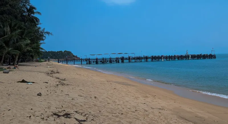
Before it on the ring road
Na Phra Lan Beach
1.7 km east of Ban Tai Beach
Na Phra Lan Beach is a small, local stretch of sand on Koh Samui's northwest coast near Wat Na Phra Lan and Maenam
Right now
Month by month
Pick a month. The water, the swim call, the crowds and the sun all follow your pick, here and further down the page.
CalmChoppyRough Rain
Swim January
Swim near high tide
Calm water, but shallow: come an hour or two either side of high water, when there is enough depth to swim.
North coast Sea 28 °C Sunset 18:18 Calm
Swim February
Swim near high tide
Calm water, but shallow: come an hour or two either side of high water, when there is enough depth to swim.
North coast Sea 28.5 °C Sunset 18:29 Calm
Swim March
Swim near high tide
Calm water, but shallow: come an hour or two either side of high water, when there is enough depth to swim.
North coast Sea 29 °C Sunset 18:31 Calm
Swim April
Swim near high tide
Calm water, but shallow: come an hour or two either side of high water, when there is enough depth to swim.
North coast Sea 30 °C Sunset 18:30 Calm
Swim May
Swim near high tide
Calm water, but shallow: come an hour or two either side of high water, when there is enough depth to swim.
North coast Sea 30 °C Sunset 18:33 Calm
Swim June
Swim near high tide
Calm water, but shallow: come an hour or two either side of high water, when there is enough depth to swim.
North coast Sea 30 °C Sunset 18:41 Calm
Swim July
Swim near high tide
Calm water, but shallow: come an hour or two either side of high water, when there is enough depth to swim.
North coast Sea 29.5 °C Sunset 18:45 Calm
Swim August
Swim near high tide
Calm water, but shallow: come an hour or two either side of high water, when there is enough depth to swim.
North coast Sea 29.5 °C Sunset 18:38 Calm
Swim September
Swim near high tide
Calm water, but shallow: come an hour or two either side of high water, when there is enough depth to swim.
North coast Sea 29 °C Sunset 18:21 Calm
Dip October
A short dip in choppy water
The sea on this coast turns choppy this month and the shallows can go murky. Stay in your depth.
North coast Sea 29 °C Sunset 18:03 Choppy
Dip November
A short dip in choppy water
The sea on this coast turns choppy this month and the shallows can go murky. Stay in your depth.
North coast Sea 29 °C Sunset 17:56 Choppy
Dip December
A short dip in choppy water
The sea on this coast turns choppy this month and the shallows can go murky. Stay in your depth.
North coast Sea 28.5 °C Sunset 18:02 Choppy
Swim
High tide only
A workable dip at high water. At low water you walk a long way out before it reaches your waist.
Snorkel
Sea
CalmCalmCalmCalmCalmCalmCalmCalmCalmChoppyChoppyChoppy
28 °C water, 125 mm of rain on 8 days.28.5 °C water, 65 mm of rain on 4 days.29 °C water, 115 mm of rain on 5 days.30 °C water, 85 mm of rain on 6 days.30 °C water, 130 mm of rain on 11 days.30 °C water, 135 mm of rain on 10 days.29.5 °C water, 115 mm of rain on 11 days.29.5 °C water, 100 mm of rain on 10 days.29 °C water, 120 mm of rain on 11 days.29 °C water, 295 mm of rain on 16 days.29 °C water, 445 mm of rain on 16 days.28.5 °C water, 265 mm of rain on 12 days.
Calm January to September
Sand
Pale, fine
Soft, fine sand underfoot, easy on bare feet.
Wide flats at low tide
Crowds
Almost no one
Peak season on the island: more people on every beach.Peak season on the island: more people on every beach.Shoulder season: a steady trickle of visitors.Shoulder season: a steady trickle of visitors.Low season island-wide. You may have long stretches to yourself.Low season island-wide. You may have long stretches to yourself.Shoulder season: a steady trickle of visitors.Shoulder season: a steady trickle of visitors.Low season island-wide. You may have long stretches to yourself.Low season island-wide. You may have long stretches to yourself.Low season island-wide. You may have long stretches to yourself.Peak season on the island: more people on every beach.
Island busy this month
Sunset
18:1818:2918:3118:3018:3318:4118:4518:3818:2118:0317:5618:02
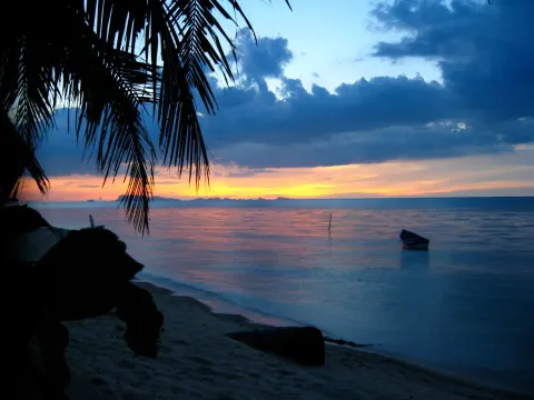
Drops behind the island's own hills, about 1.7 km away: you get the glow, not the sun on the water.Drops behind the island's own hills, about 3.3 km away: you get the glow, not the sun on the water.Goes down over open water, straight out to sea.Goes down over the sea toward the Ang Thong islands, about 27.8 km out.Goes down over the sea toward the Ang Thong islands, about 27.8 km out.Goes down over the sea toward the Ang Thong islands, about 34 km out.Goes down over the sea toward the Ang Thong islands, about 34 km out.Goes down over the sea toward the Ang Thong islands, about 27.8 km out.Goes down over the sea toward the Ang Thong islands, about 27.8 km out.Goes down over the sea toward the Ang Thong islands, about 29 km out.Drops behind the island's own hills, about 2.1 km away: you get the glow, not the sun on the water.Drops behind the island's own hills, about 1.4 km away: you get the glow, not the sun on the water.
Kids
2 of 3
Shallow, gentle water for wading. No lifeguard, so stay close.
Kids rating
Food
4 places
Mimosa Resort, La Perle Boutique Hotel, Jasmine & Tea House
Mid-range prices
After dark
Nothing
No bars and no lights. For a night out, head to Chaweng or Bophut.
Nightlife rating
The story
11 min read
Key facts
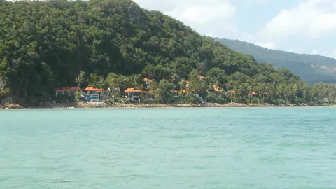
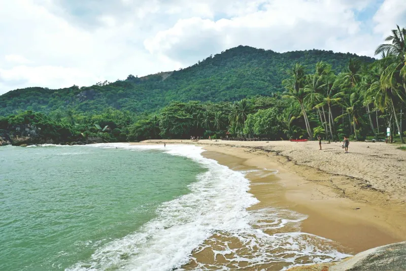
Ban Tai Beach (หาดบ้านใต้) is a quiet stretch of sand on Koh Samui’s north coast, between Bang Po to the west and Maenam to the east, roughly 20-25 minutes by car from Samui Airport. Sources put its length at 1-2 km. It is not the Ban Tai on Koh Phangan, a different beach on the neighboring island. Ban Tai on Samui has fine, pale sand, shallow water that stays swimmable at almost any tide, no big hotel chains on the shoreline, and a rocky headland at its eastern end where a shallow reef gives genuinely good snorkeling for a beach this close to the main road.
Ban Tai faces north across the strait toward Koh Phangan, and the village behind it (also called Ban Tai) is a working residential area rather than a tourist strip, so restaurants and shops thin out compared to Maenam or Bophut. That trade-off is the whole appeal: a beach visitors reach almost by accident, on a coastline where every other bay is named on a tour brochure.
The name is shared by two places in the Gulf of Thailand. Ban Tai on Koh Samui (this page) is a residential village and beach on the north coast, facing Koh Phangan across the strait. Access is one short lane off Route 4169, the ring road. Ban Tai on Koh Phangan is a long beach on that island’s southwest coast near Thong Sala, reached from Samui by ferry. If you searched “Ban Tai” and want the Samui beach, you are in the right place.
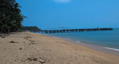
Ban Tai’s sand is fine and pale, sometimes described locally as flour-like underfoot. The beach is narrow compared to Maenam next door, and its width changes noticeably with the tide: at low tide, a strip of sandbar and scattered seaweed can appear a few dozen meters offshore, a common feature of Koh Samui’s north coast where the tidal range runs roughly 1-2 meters.
The western stretch has the smoothest sandy bottom and the fewest rocks underfoot, making it the easiest spot for a straightforward swim. It also tends to be the emptiest part of the beach. Most visitors who do find Ban Tai gravitate toward the eastern end near the reef.
The eastern end narrows toward a rocky point that separates Ban Tai from Maenam. This is where the beach gets interesting: sharper stones near the shoreline give way to a clearer, sandier bed a meter or two out, and the rocky cape itself is the launch point for the reef snorkeling described below.
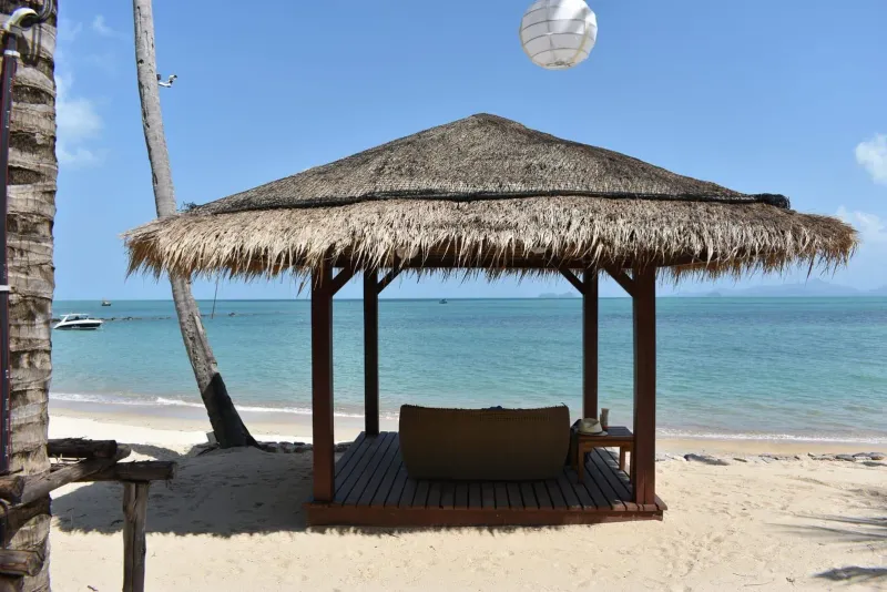
Water is shallow enough for a long walk before it reaches waist depth in many spots, which makes Ban Tai reliably safe for children and weak swimmers, though it also means the swim itself is more of a wade at low tide. There are no strong currents on this side of the island: the north coast is sheltered from the monsoon swells that hit Chaweng and Lamai on the east and southeast.
The rocky headland at the eastern end of Ban Tai is the beach’s signature feature. A shallow reef extends off the point, and (unlike most Koh Samui beaches, where decent snorkeling means booking a boat to Ang Thong or Koh Tao) here it’s a fin-kick from the sand.
Reported sightings around the Ban Tai and Bang Po headland include clownfish, wrasses, parrotfish, flute mouths, Moorish idols, banner fish, and occasionally stingrays and green turtles. Small blacktip reef sharks have also been spotted here on occasion, though sightings are irregular and the sharks are shy, shallow-water juveniles rather than anything visitors need to worry about.
For a wider comparison of reef conditions along this coast, see Wikipedia’s overview of Ko Samui, which covers the island’s marine geography.
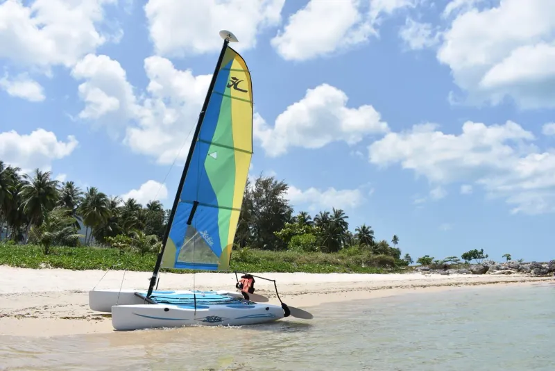
Ban Tai isn’t a watersports hub, but the basics are covered, and the beach’s emptiness makes it a good pick for activities that need space.
Dining at Ban Tai is small-scale and local rather than a destination in itself. Most restaurants are family-run and cluster along the access road rather than directly on the sand.
| Type | What to Expect | Price Range |
|---|---|---|
| Beach-road Thai eateries | Family-run kitchens serving curries, stir-fries, and grilled fish | 80-200 THB (~2.50-5.50 USD) |
| Seafood restaurants | A handful of quality spots serving fresh catch, more common toward Bang Po | 150-400 THB (~4.50-11 USD) |
| 7-Eleven corner cluster | Small eateries, bars, and massage shops about 5 minutes’ walk from the beach | 40-150 THB (~1-4.50 USD) |
| Resort dining | Restaurants attached to Mimosa Resort and La Perle Boutique Hotel | 200-600 THB (~5.50-17 USD) |
For a wider choice of restaurants and a lively night market, most visitors head 10 minutes east to Maenam’s village center, or continue on to Bophut’s Fisherman’s Village for boutique dining and Friday-night street food.
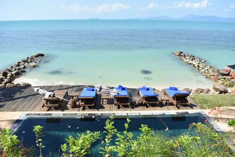
Ban Tai has a small footprint of accommodation (nothing on the scale of Maenam’s five-star resorts) which suits travelers who want beach access without a resort compound around them.
| Category | Average Price | Examples |
|---|---|---|
| Budget | 525-1,050 THB (~15-30 USD)/night | Jasmine & Tea House |
| Mid-range / family | 1,750-3,500 THB (~50-100 USD)/night | Mimosa Resort |
| Boutique / upscale | 3,500-7,000 THB (~100-200 USD)/night | La Perle Boutique Hotel |
| Villas (long stay) | 5,250-14,000+ THB (~150-400+ USD)/night | Ban Tai Estate villas (2-6 bedrooms, private pools) |
Villas here are popular with families and small groups wanting a private pool and kitchen rather than a hotel room, and several operate as monthly rentals for longer stays, a quieter, cheaper alternative to renting in Maenam or Bophut.
Ban Tai sits roughly 20-25 minutes by car from Samui International Airport, slightly further than Maenam or Bophut since it’s a step off the main tourist strip.
The beach itself is reached via a short access lane off Route 4169: look for the public beach signage near the Mimosa Resort turn-off. Once there, the shoreline is flat and easy to walk end-to-end in about 30 minutes. A rented scooter (~200-300 THB/day, ~6-9 USD) is the most practical way to combine Ban Tai with Bang Po and Maenam in a single day, since none of the three has much public transport running between them.
| Season | Months | Conditions | Rating |
|---|---|---|---|
| Peak / Dry | Dec - Feb | Sunny, calm seas, best snorkeling visibility | |
| Hot | Mar - Apr | Warmer, still generally dry and calm | |
| Inter-monsoon | May - Aug | Mixed weather, generally swimmable | |
| Monsoon | Sep - Nov | Rain more likely, occasional rough patches |
Like the rest of the north coast, Ban Tai is sheltered from the worst of the southwest monsoon that batters the east and south coasts, so it often stays calm when Chaweng and Lamai don’t. Some visitors report increased algae on the sand around February, and a springtime plankton bloom is occasionally reported in April: neither is dangerous, just worth expecting if you visit in those windows. December to April remains the most reliable stretch for clear reef-snorkeling water.
| Traveler Type | Fit | Why |
|---|---|---|
| Snorkelers on a budget | Reef access from the beach, no boat trip required | |
| Families with young kids | Shallow, calm water; but bring your own shade and gear | |
| Couples wanting quiet | Genuinely uncrowded, low-key sunset walks | |
| Long-stay renters | Villas and monthly rentals cheaper than Maenam or Bophut | |
| Nightlife seekers | Nothing here: head to Chaweng or Bophut instead | |
| Digital nomads | Workable but with thinner café and WiFi infrastructure than Maenam |
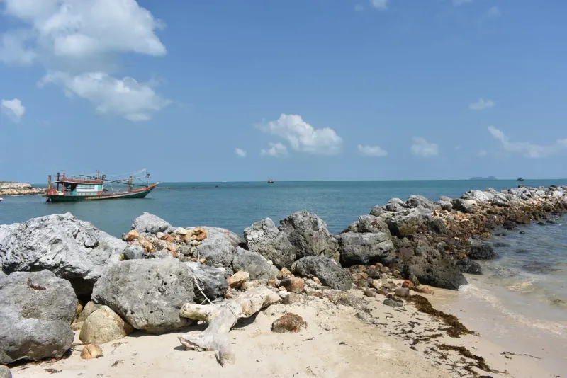
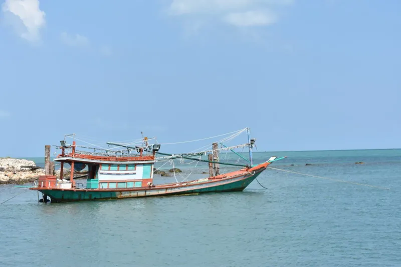
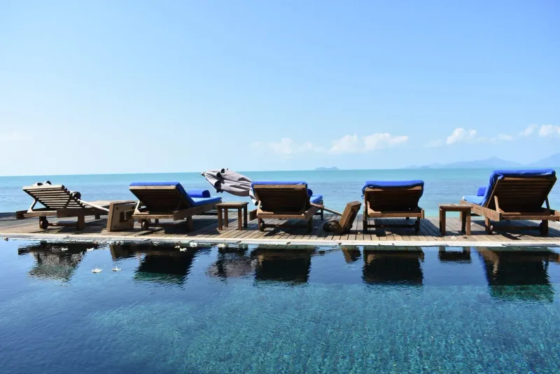
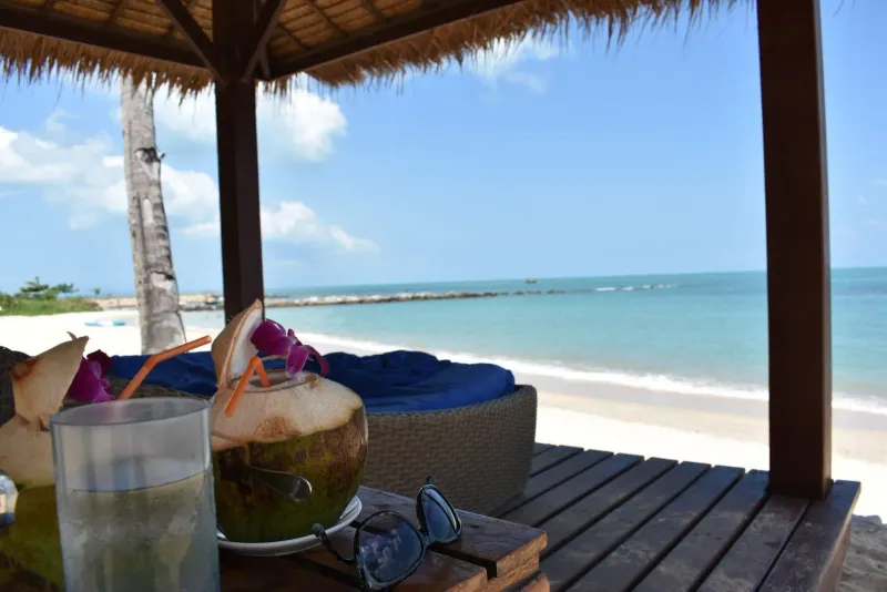
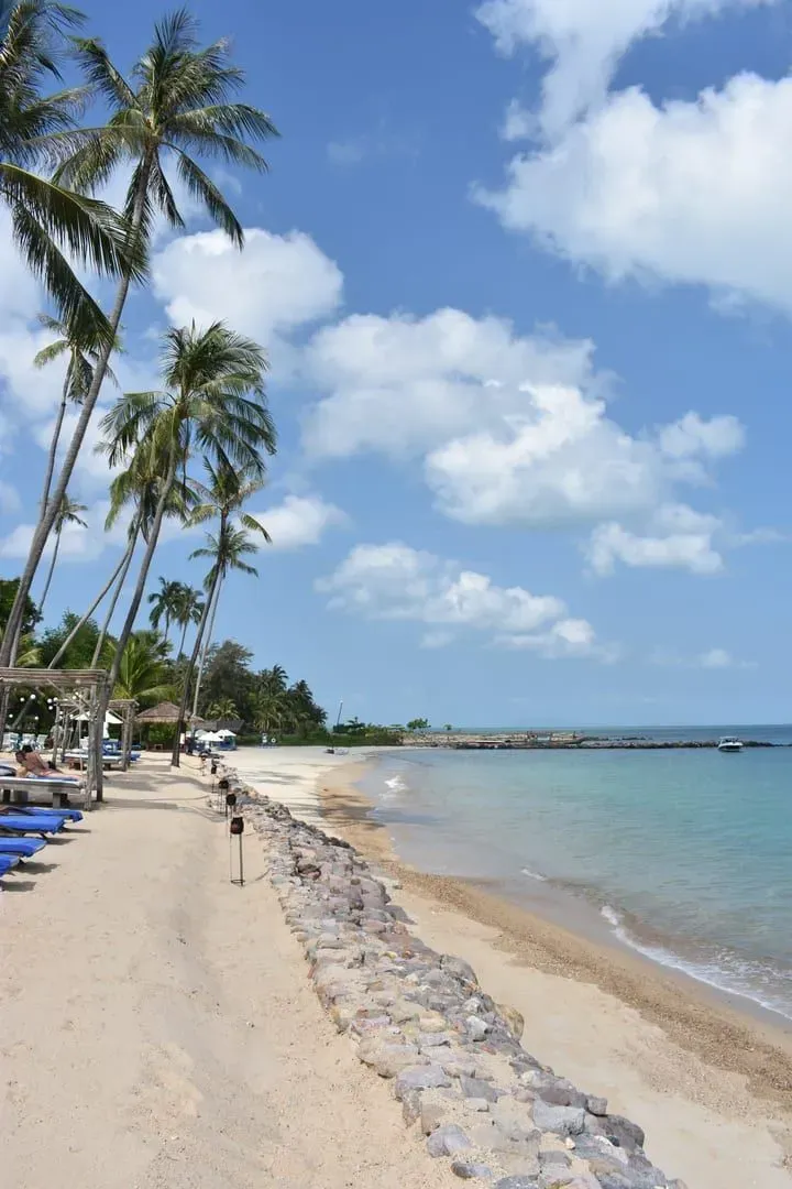
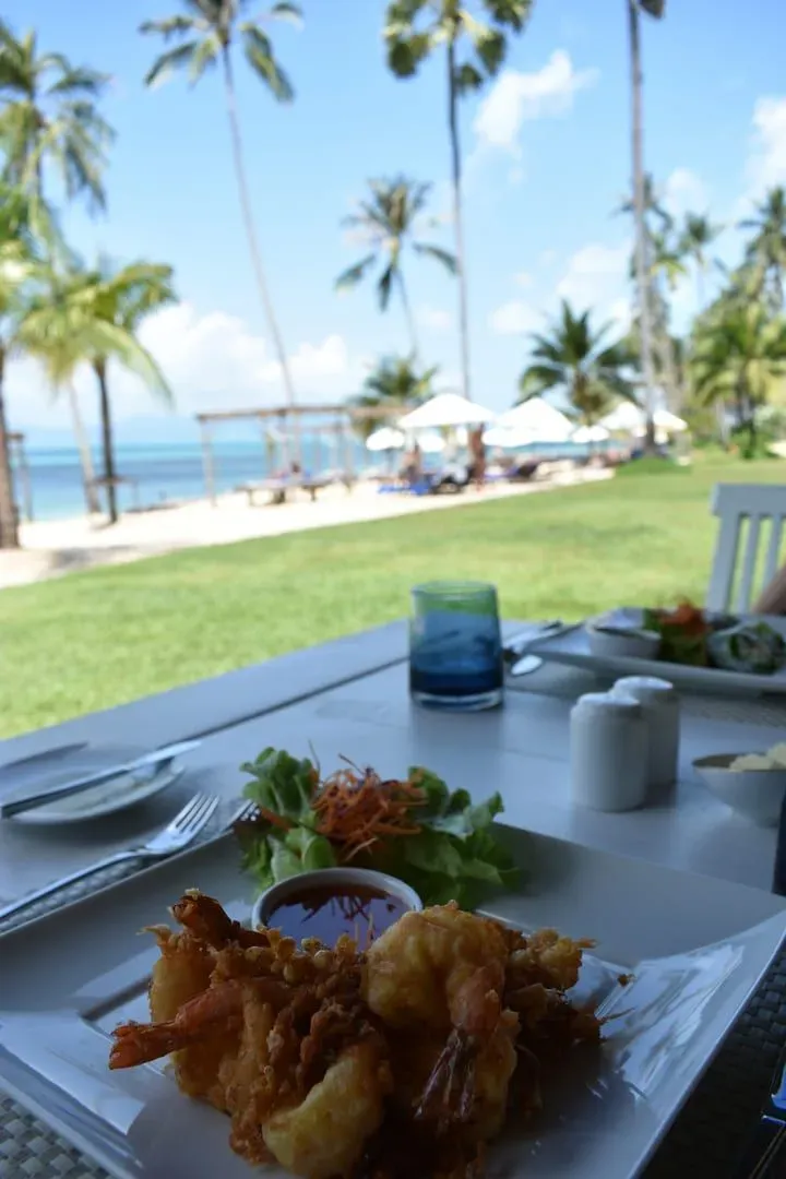
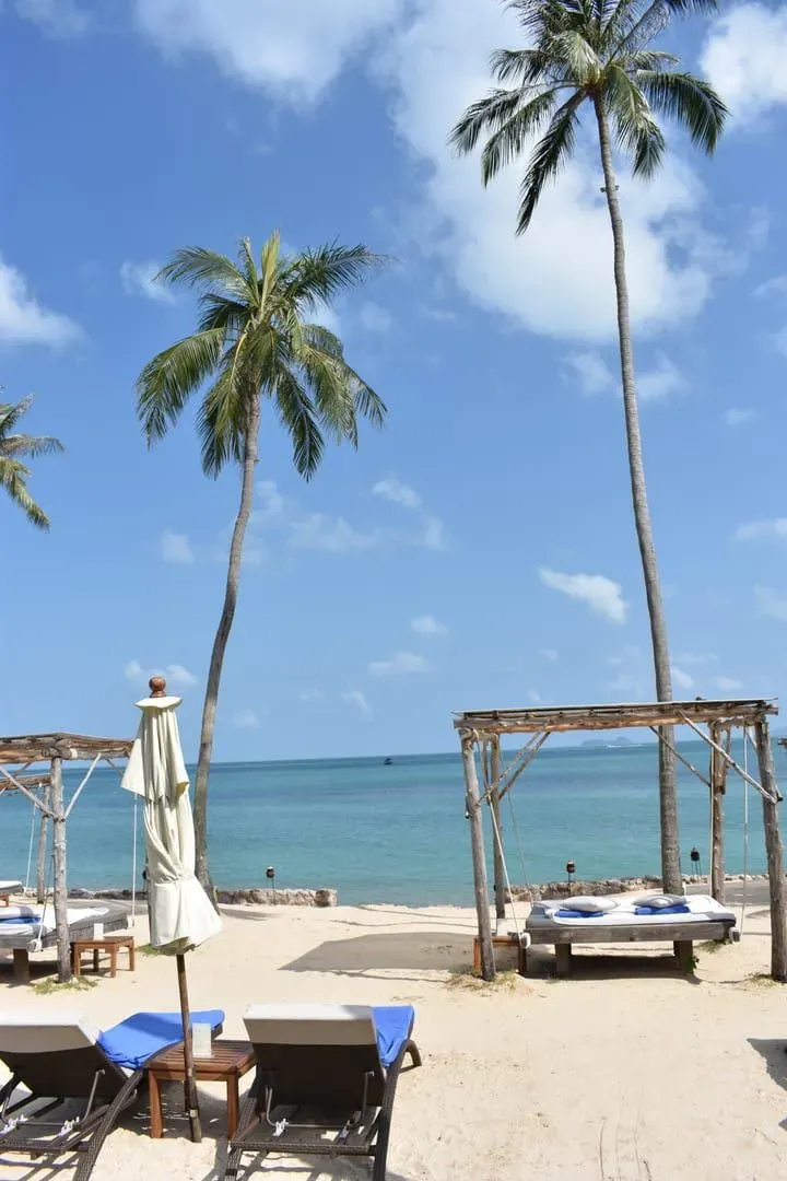
Both islands have a Ban Tai. This one is on Koh Samui. Ban Tai Beach sits on the north coast of Koh Samui, Thailand, between Bang Po and Maenam, facing Koh Phangan across the strait. It should not be confused with Ban Tai on Koh Phangan, a different beach with a similar name on the neighboring island.
Yes, relative to most Koh Samui beaches. A shallow reef off the rocky headland at the eastern end supports clownfish, wrasses, parrotfish, and occasional turtles and blacktip reef sharks. Visibility is best in the dry season from December to April. Bring your own mask and reef shoes since rental gear on-site is limited.
About 20-25 minutes by car, roughly comparable to or slightly longer than Maenam. A prepaid airport taxi runs approximately 350-450 THB (~10-13 USD). Grab ride-hailing works for pickups elsewhere on the island but not from inside the airport terminal.
Ban Tai Beach is known for pale sand, calm shallow water, few crowds, and reef snorkeling off its eastern rocky headland, all on Koh Samui’s north coast between Bang Po and Maenam. It suits quiet beach days rather than nightlife or watersports. See the Maenam Beach guide for a busier neighbor.
No: it’s one of the quietest named beaches on Koh Samui’s north coast. There are no large resorts directly on the sand, and most tourists head to neighboring Maenam or Bophut instead, leaving Ban Tai’s shoreline largely to locals and villa guests.
Swimming is possible but shallow at low tide, when sandbars and patches of seaweed can appear well offshore. The water is calm and safe for wading and casual swimming at most tide levels, making it a reasonable choice for families, though serious swimmers will find deeper water at nearby Maenam.
Options are limited but varied: Jasmine & Tea House for budget stays, Mimosa Resort for families, La Perle Boutique Hotel for a small upscale stay, and Ban Tai Estate villas for groups wanting a private pool. Most visitors staying elsewhere on the north coast simply visit Ban Tai for the day.
Nearby
What is near
The nearest temples, waterfalls, hikes and beaches, each with the straight-line distance and direction. Point at a name to find its pin.
Getting hereStraight-line distances to the places most visitors come from.
Sunset
From the sand
Ban Tai Beach looks north. Pick a month to see where the sun meets the horizon, and what stands in front of it.
18:18January18:29February18:31March18:30April18:33May18:41June18:45July18:38August18:21September18:03October17:56November18:02December
Sun bearing from the middle of the beach, computed from its coordinates and the coastline outlines, mid-month.
This coast
Along the ring road
Ban Tai Beach is No. 7 of 34 round the ring road. Next door: Na Phra Lan Beach one way, Maenam Beach the other.
Route 4169, the ring road, runs behind every beach on this stretch
Before it on the ring road
1.7 km east of Ban Tai Beach
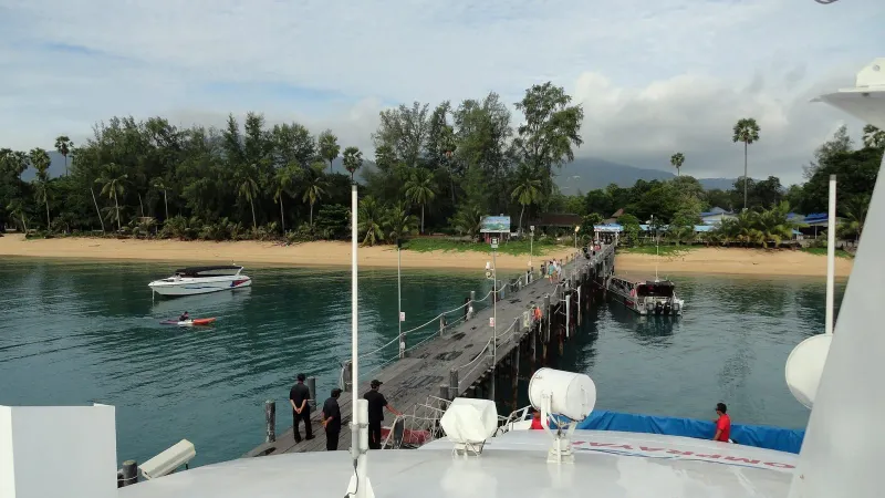
Na Phra Lan Beach is a small, local stretch of sand on Koh Samui's northwest coast near Wat Na Phra Lan and Maenam
After it on the ring road
3.7 km south-east of Ban Tai Beach
Maenam Beach is a calm 5 km north coast stretch on Koh Samui: easy swimming, a Thursday walking street, Lomprayah pier